


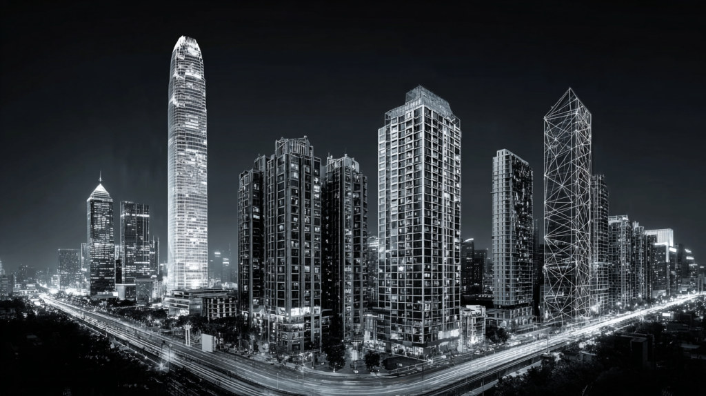




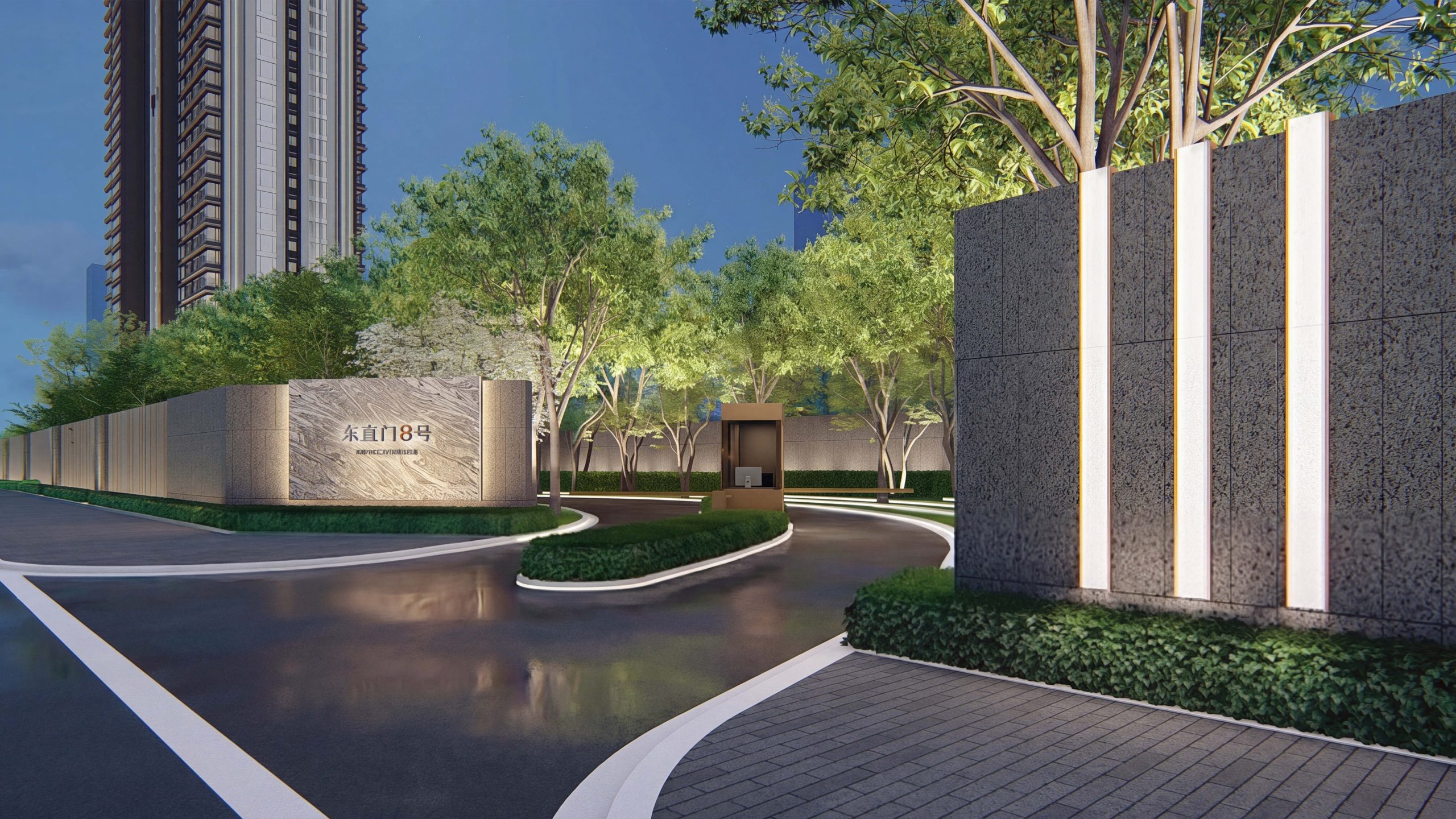
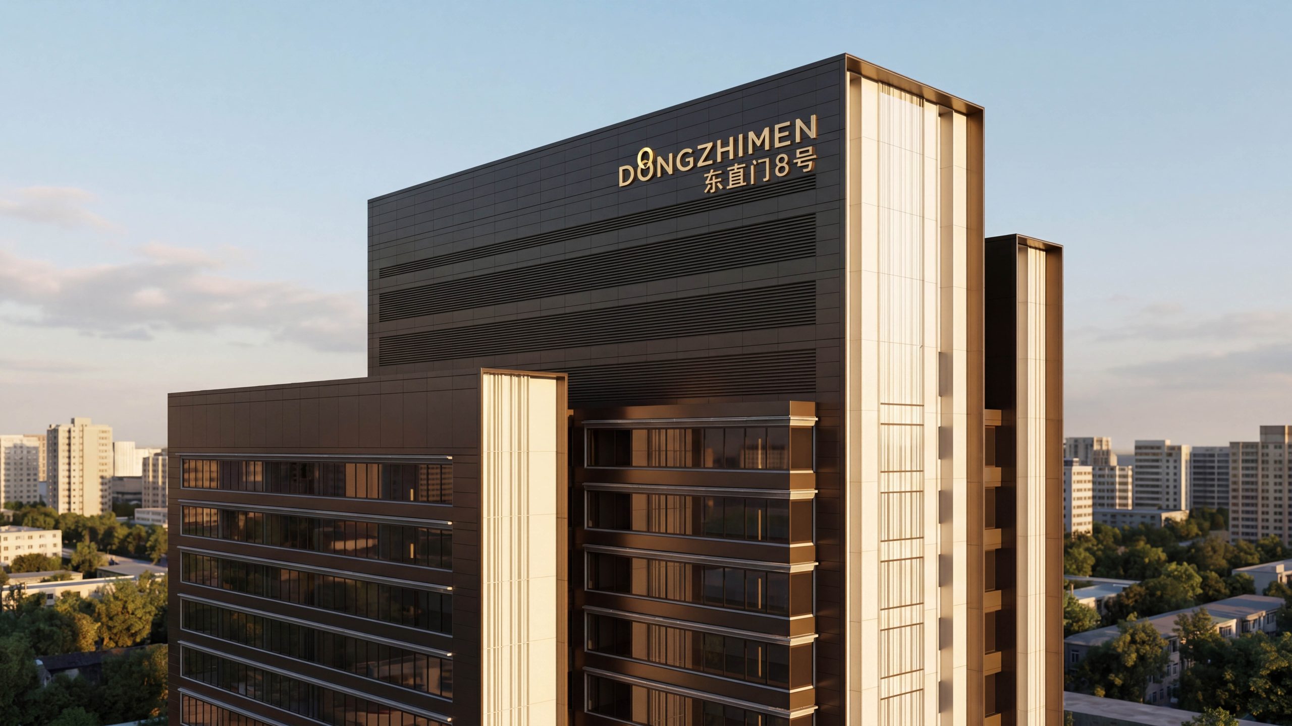
Wayfinding system for the Dongzhimen No. 8 complex. The scope spans the city arrival interface, external pedestrian and vehicle circulation, lobbies and atrium, towers and retail podium, parking and metro connections, and accessibility and emergency evacuation.
The goal: in a dense urban district where multiple entrances, buildings and transport modes overlap, create a replicable, low-maintenance, scalable wayfinding system so that first-time visitors orient themselves within 30 seconds, and commuters and guests reach their floor and destination in three steps.
Assess the current state and define the goal
Site surveys and footfall heat mapping revealed the issues: weak recognition at the street interface; discontinuous cues at metro–street–tower transfer points; inconsistent floor numbering and zone coding; unbalanced information density between retail and office; and reflections reducing legibility at night and in rain or snow. Objectives fell into three categories. Continuous guidance: 100% advance notice and progress confirmation at key turns, with reconfirmation every 12–15 m along long corridors. Stable legibility: a type size–contrast–illuminance parameter library for vehicular, pedestrian and underground viewing distances. Efficient operations: templated fixed, variable and temporary information, enabling tenant and temporary diversion updates in 5–10 minutes.
Systematic Strategy and Coding System
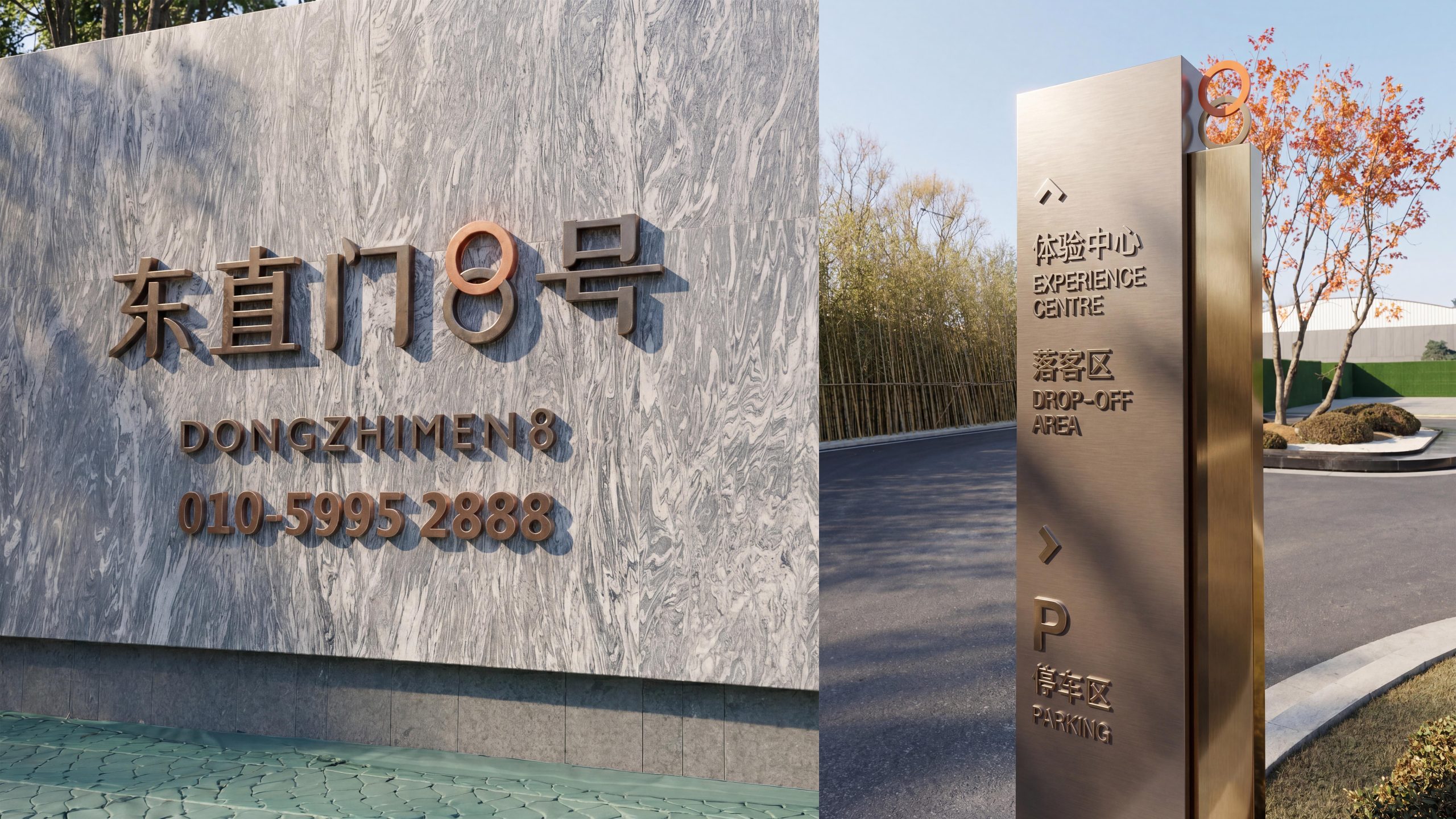
One grid: a unified 8pt/4mm module runs through sign layouts and component tooling, ensuring a consistent look across buildings. Two viewing distances: separate type-size and illuminance thresholds for vehicular (20–60 m) and pedestrian (1–15 m) viewing; underground areas use a high-contrast scheme. Three sign types: fixed signage (gateways, campus overviews, building/tower signs, floor directories), variable information (tenant directories, events, construction/closures) and temporary guidance (peak queuing, one-way diversion, emergency evacuation). Four-level coding: campus–building–floor–room/function point (letters + numbers), integrated with visitor booking, access control, elevator dispatch and parking systems. Five-step delivery: baseline survey–prototype night testing–pilot calibration–full rollout–asset register and O&M SOP handover.
Visual and information rules
Color: graphite gray and ivory white form the information base, with “Dongzhimen Blue” as the functional accent; high-visibility yellow bands are added underground and in parking; safety and emergency use a red-and-yellow combination. Typography and sizing: highly legible sans-serif Chinese and English faces at equal weight; primary vehicular identification ≥140 mm, zone signs 60–90 mm, directions 30–40 pt, rules and directories 18–24 pt; monospaced figures for numbers and parking codes. Iconography: redrawn to ISO and accessibility standards, covering metro transfers, bus hubs, towers, offices, retail, dining, restrooms, accessibility, elevators, AEDs, evacuation and more; arrows, numbering and color bands share geometric parameters. Layout: left-aligned, equal columns, fixed leading; reading order “Where am I – Where to – How to get there – Which floor – Which number – Notes.” Optics and materials: 4000–4300K neutral, glare-controlled light sources; matte-laminated or fine-texture powder-coated panels; weather-resistant aluminum and stainless steel outdoors, moisture- and mold-resistant materials underground.
Circulation Organization and Scenario Implementation
City arrival: tall pylons and illuminated gateway identification create two visual planes; metro exits list the “nearest tower/retail core”; floor guide lines lead from bus drop-off directly to the lobby. Lobby and vertical circulation: the first view presents a “campus overview + quick index (Tower A, Tower B, Retail, Parking)”; elevator dispatch areas show “destination floor – estimated walking time – nearest security/visitor kiosk.” Towers and retail: tower lobbies follow a three-part “floor index – tenant directory – service desk” sequence; retail concourses are zoned by use (dining, retail, services) with progress confirmation and turn previews. Parking and connections: P zones use color bands and zone letters for quick orientation; elevator lobbies indicate the “nearest tower/retail entrance”; metro transfer nodes show “Up to Gate ×× – estimated walking time.” Accessibility and emergency: ramps, low-mounted signs and tactile guidance are deployed as complete sets at entrances and key turns; evacuation maps, assembly points, fire equipment and AEDs use high-contrast templates, maintaining minimum illuminance at night with reconfirmation.
Delivery and operation and maintenance mechanism
A closed loop of “asset register + template library + data integration.” Every sign has a unique code, installation coordinates and materials list; tenant changes, events and temporary diversions are generated automatically from templates and exported for local printing in one click, so one person can update a sign in under 5 minutes. The system connects with visitor booking, access control and parking platforms to push destinations and optimal routes dynamically. Handover includes: master wayfinding plan and location drawings, layout and icon manual, coding rules, hardware exploded views and bill of materials, installation and illuminance parameters, an emergency template library and O&M SOPs. The scheme upholds the district’s urban image while delivering controlled peak-hour order, continuous guidance across transport modes and professional wayfinding that remains maintainable over the long term.